
On This Page
Study Summary and Goals
The Rosenberg/U.S. 90A Corridor Livable Centers Study project identifies improvements, policies, and programs (including specific investments in transportation infrastructure) that will help revitalize the area, creating a vibrant community that offers a variety of housing and transportation options that meet the needs of residents and local businesses. This Livable Centers Study presents a vision for revitalizing this area and shows what the City of Rosenberg, its businesses, and its residents can do to build on its history, character, and its location to create a Livable Center, an economically thriving place. Implementation strategies described in the plan include the following:
- Encourage and support innovative redevelopment projects on underutilized properties;
- Improve the mobility and safety of pedestrians, bicyclists, motorists, and transit users;
- Provide greater housing options; and
- Protect and promote existing cultural and environmental assets that contribute to the area’s unique identity.
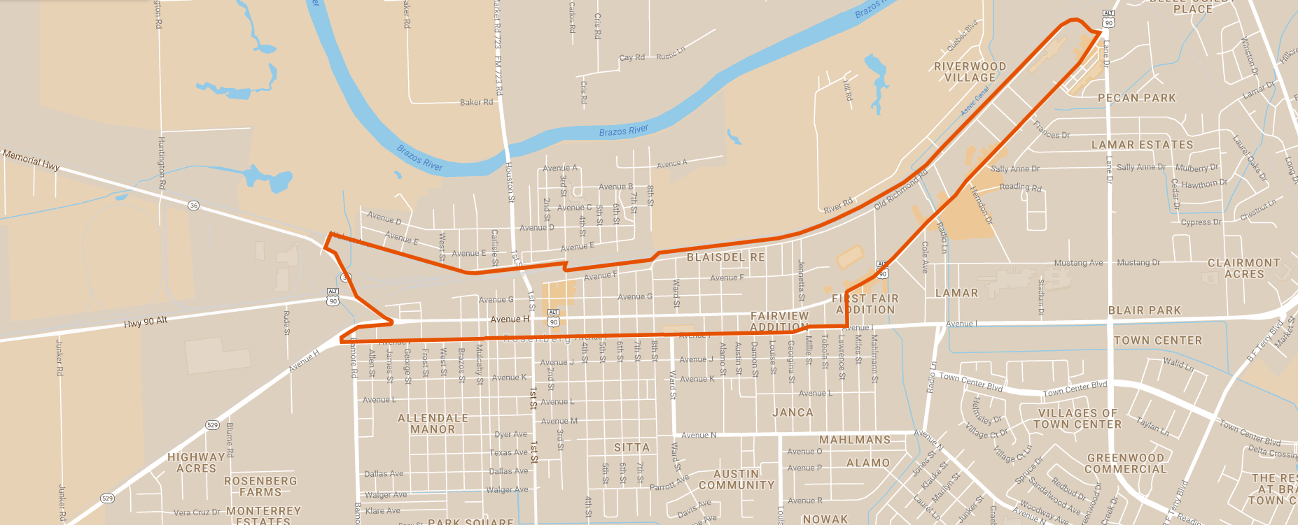
Study Area Map
The study area includes the U.S. 90A corridor between State Highway 36 (36th Division Memorial Highway) and Lane Drive within the City of Rosenberg. Historic Downtown Rosenberg, which was recently designated a Cultural Arts District, is included within the study area. While much of the study area consists of commercial uses, there are some established residential neighborhoods.
Click for a full size version of this map.
Local Partners
West Fort Bend Management District
City of Rosenberg
Lead Consultant
Morris Architects