
Jul 19, 2024
HOUSTON, TX – Houston-Galveston Area Council (H-GAC), the agency responsible for publishing the evacuation zones and evacuation routes for the 13-county Houston-Galveston region, urges everyone to get and stay prepared for the 2024 hurricane season by knowing your zip-code-based evacuation zones and the right routes to take in an evacuation.
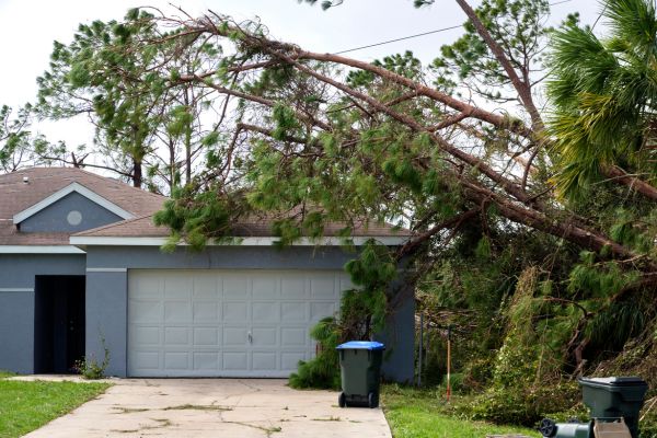
“Beryl, an early season hurricane for our region, reminded us all how important it is to get and stay ready and safe this hurricane season,” said Francis Rodriguez, principal program coordinator of Incident Management at the Houston-Galveston Area Council (H-GAC). “Some of the biggest areas of concern we witnessed last week were evacuation and routes, availability of fuel, driving on flooded roadways, generator safety, and knowing about flood insurance.”
Evacuation Map and Routes
The most important thing anyone can do to be prepared is to know your evacuation zone and the route you will take to get out of harm’s way,” Rodriguez added.
The evacuation route map shows you which designated route to take when evacuating. These are carefully planned to get you away from areas with a high likelihood of damage. The state-designated routes are also staffed with first responders and stocked with emergency supplies to aid evacuees along the route. Many gas stations and stores along the routes are prepared with gas, generators, and other essentials in case you have to stop.
“Both the evacuation zone and evacuation route maps are updated each year, and it’s important to check the website for the most current map,” said Rodriguez. “This year’s evacuation route map has changed to include SH-I46 out of Baytown.”
The devastating effects of Hurricane Rita in 2005 serve as a reminder of the importance of an organized evacuation. During the evacuation of Hurricane Rita, there were more than 100 deaths attributed to traffic-related incidents and people being stuck in their vehicles for up to 20 hours. This tragedy underscores the significance of preparing early, leaving promptly when your evacuation zone is called, and following designated evacuation routes to avoid such situations in the future.
In addition to having the current evacuation zone and evacuation route maps, it is important to fill your gas tank in advance of an impending hurricane. “As we recently experienced, fuel can be in short supply following a hurricane or tropical storm,” she added.
Flooding
Hurricane Beryl was a good reminder that our region is prone to severe flooding with its proximity to the gulf, low-lying areas, and matrix of rivers and bayous. In addition, many primary highways and thoroughfares are designed to serve as detention basins during flooding to help reduce the risks of homes being inundated with floodwaters.
“It’s important that drivers exercise caution when driving through floodwaters,” said Rodriguez. “Even if a roadway is not known to flood, it still can be based on the amount of rainfall received and the ability of our drainage infrastructure to drain the water.”
Disaster Emergency Kit
A key aspect of hurricane preparedness is assembling an emergency kit with essential supplies.
“You can stock up on emergency supplies any time of year – and there is no time like now,” said Rodriguez. “Our hurricane guide contains a wealth of information, both the evacuation zone and evacuation route maps, guidance, and checklists to help everyone prepare for Hurricane Season as well as any other natural disaster.”
If a generator is part of your emergency kit, Rodriguez encourages the safe use of generators.
“It’s important to place generators in an outdoor location where they can exhaust effectively,” Rodriguez added.
H-GAC has a comprehensive hurricane guide available at our website. In addition, you will find a special publication for older adults and those who are medically fragile, pet boarding information, disaster recovery resources, and funding.
This information and printables are also available in Spanish.