On This Page
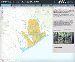
The H-GAC water resources group manages various interactive web applications related to water quality and other environmental concerns. These tools allow the user to explore reports in a unique way or find information and data at a local or regional scale within the 13-county Houston-Galveston region.
Click on a thumbnail below to view a brief description of an application. To view the application, click on “Launch Application”.
Web Applications and Tools
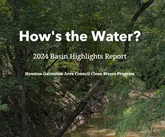
2024 Basin Highlights Report
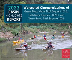
2023 Basin Highlights Report
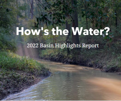
2022 Basin Highlights Report
2021 Basin Summary Report
2020 Basin Highlights Report
2019 Basin Highlights Report
2018 Basin Highlights Report
2017 Basin Highlights Report
2016 Basin Highlights Report
BIG Interactive Tool

Interactive Flood Map
Low Impact Development
On-Site Sewage Facility Map
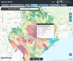
Riparian Buffer Tool
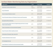
Surface Water Quality Monitoring Data
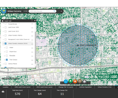
Urban Forestry